Section 2.3
Trend in Vegetation Types
19%Deciduous Stand Type
5%Mixedwood Stand Type
36% of the Al-Pac FMA area is composed of stand types suitable for forestry activities.
Trend (1999-2017) in deciduous and mixedwood stands where Al-Pac primarily operates shows:
- Deciduous stands: 2.3 percentage point decline (18.4% to 16.1%)
- Old (> 80 years) deciduous forest: net 2.0 percentage point increase (4.8% to 6.9%)
- Mixedwood stands: 0.9 percentage point decline (4.8% to 3.9%)
- Old (> 100 year) mixedwood stands: 0.3 percentage point decline (2.0% to 1.7%)

Introduction
Biodiversity is monitored at the coarse-filter level by native vegetation types and human footprint. Documenting and mapping vegetation types is critical to understanding how human activity, including forestry, is affecting ecosystems, and to supporting sustainable, evidence-based land-use decisions (e.g., forest management planning)[1]. Landbase monitoring extends back to 1999 for the Al-Pac FMA area, providing a baseline of change in vegetation types for almost 20 years. Vegetation information is important to monitoring changes in the extent and distribution of native vegetation, developing species-habitat association models, and detecting trends in biodiversity.
Native vegetation is summarized for the Al-Pac FMA area, including vegetation type, amount, and trend. This “coarse-filter” monitoring of native vegetation complements the “fine-filter” monitoring of species by providing detailed information on habitat changes, a main driver of species changes.
Principle 6: Environmental Values and Impacts
Criterion 6.1 – Identifying potential impacts of management activities on identified environmental values
ABMI data and reporting broadly support FSC Indicator 6.1.3 (1,2) by providing ‘best available information’ on the distribution of forest types, and forest types by age classes, for both upland and lowland forest types in the Al-Pac FMA and AEI.
Criterion 6.2 – Identifying potential impacts of management activities on identified environmental values
Criterion 6.8 – Managing the landscape in the management unit to maintain and/or restore landscape values
Tracking changes in human footprint can help inform FSC Indicators 6.2.1 and 6.8.5, by showing the spatial distribution of human disturbances on the landscape. This includes tracking the density of linear features, such as roads and seismic lines.
Results
Area of Native Vegetation Types
- Black Spruce (33%) is the most common stand type in the Al-Pac FMA area, followed by deciduous (19%) and treed fen (18%) (Figure: Vegetation Types).
- Forestry footprint only occurs in the deciduous, mixedwood, white spruce, and pine stand types, which cover about 36% of the landbase.
Trend in Native Vegetation Types
Trend Results: 1999-2017
- Overall, deciduous forest shows the strongest declines, as this is the main forest type Al-Pac operates in; this forest type decreased by 2.3 percentage points (18.4% to 16.1%) between 1999 and 2017. Accounting for recovery, deciduous declines at a slower rate after ~2005 as harvested stands recover.
- Mixedwood, white spruce, and pine stands show slight declines—each < 1 percentage point—between 1999 and 2017. The declines persist but are less steep when forestry recovery is accounted for.
- Treed fen and black spruce also show very slight declines over this time frame. These declines are mainly driven by scattered energy footprint, and to a lesser degree by transportation and urban/industrial footprint in the Al-Pac FMA area.
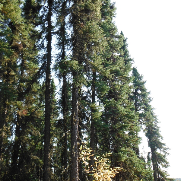
Photo: Caitlin Willier
Trend in Old Forest Stand Types
Trend Results: 1999-2017
- Apart from old mixedwood forests, which show a small net decline, there is a net increase in the area of old forest for all stand types in the Al-Pac FMA area between 1999 and 2017 (Figure: Trend in Old Forest). Historical fire regimes, possibly modified by human activities, produced a large area of mature forest that has been crossing the age threshold to become “old forest”. Recruitment of old forest from aging of this mature cohort currently exceeds reductions of old forest due to forestry.
- Black spruce has the largest net increase followed by old deciduous stands with net percentage point increases of +3.0 (3.5% to 6.5%) and +2.1 (4.8% to 6.9%), respectively.
- There is a jump in areas of old forest between 1999 and 2004, and in 2010, due to rounded origin years for some stands. This means there were large areas that were estimated to have an origin year of 1930 that became old forest at the same time. This decadal rounding also accounts for the slow declines in other years. For example, few stands were given an origin year of 1931, so losses of old forest between 2010 and 2011 exceed the recruitment to old forest from those few 1931 stands.
- Larger declines in 2016 are due to fires in that year.
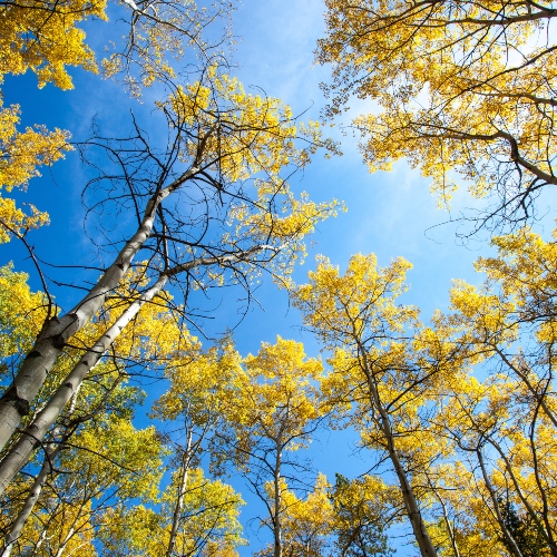
Photo: ABMI
References
Noss, R.F. 1999. Assessing and monitoring forest biodiversity: A suggested framework and indicators. Forest Ecology and Management 115(1999):135-146.
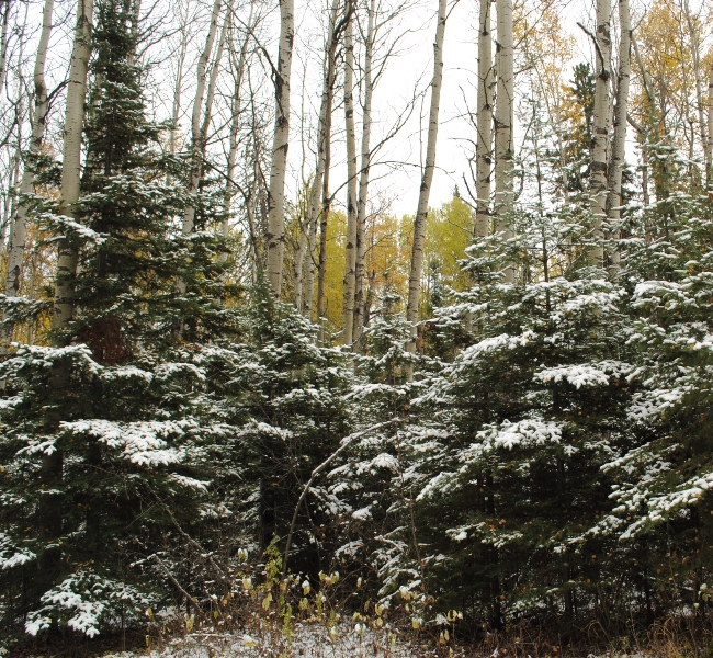
Photo: ABMI